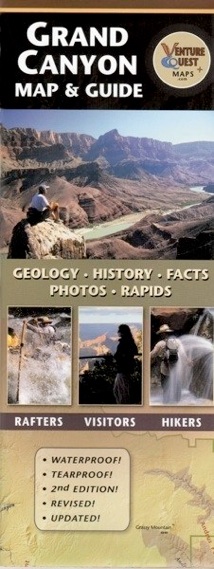
Grand Canyon Map and Guide The All-in-One Resource


The Grand Canyon Map and Guide is a comprehensive resource for Grand Canyon National Park, covering the entire Grand Canyon from Lake Powell to Lake Mead (some maps do not).
It contains a thorough review of geology that is easy to follow with precise diagrams, colorful charts, and understandable text. Plants, animals, and human history come alive with interesting facts here. Beautiful color photographs illustrate many key features and locations. Canyon features are clearly labeled including roads, scenic overlooks, temples, buttes, side canyons, river rapids, and hiking trails. It is waterproof and a great companion for sightseeing, day hiking, backpacking, or river rafting!
This map has been used in educational exhibits in Grand Canyon National Park as well as the National Geographic Visitor Center near Grand Canyon.
“The All-in-One Grand Canyon Resource”
Ideal for the visitor,
the river rafter, and the backpacker!
“As both an educator and an avid hiker I find myself referring to this map time and time again.”
–Mike Buchheit
Director of Grand Canyon Field Institute
Retail: $ 9.95
• GEOLOGY • HISTORY • FACTS
• UPDATED • WATERPROOF • TEAR-PROOF
• CANYON FORMATION • HUMAN HISTORY
The Grand Canyon Map and Guide labels all of the major side canyons, rapids, points along the rim and all the major buttes, and temples within the Grand Canyon. Author, Bronze Black has combined his background in geology, graphic design, and river running to produce this unique, compact, and educational map.
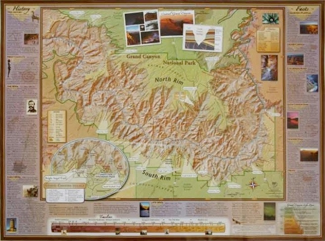
zooms into the central corridor of the Grand Canyon.
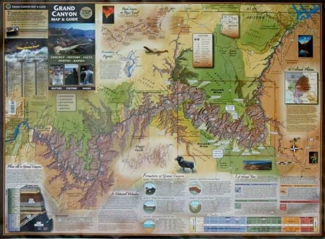
shows the entire Grand Canyon fully labeled.
More than a map,
The front of this map contains regional and geologic information about how old the Canyon is, how it formed, and how the rocks were eroded away. The front illustrates the entire Grand Canyon, (some maps do not) from lake to lake complete with diagrams, illustrations, and photographs. It is informative, compact, and functional. It is a Grand Canyon informational resource.
The back of this map zooms into the central part of Grand Canyon displaying the heart of the Canyon. The back conveys the highlights of the Canyon’s human and natural history with brief anecdotes and photos. It also contains handy facts about the Colorado River, the Colorado Plateau, and the Grand Canyon’s depth, length, width, and much more.
it covers it all, rim to rim, lake to lake, 280 miles.
GEOLOGY, HISTORY, FACTS
THE FRONT SIDE
THE BACK SIDE


ISBN# 9780974002712 • 2nd edition 2008 • 22 x 30 inch poster • folds to 4.5 x 11 inches • water-proof • tear-proof
Dragon Creek Publishing • $9.95